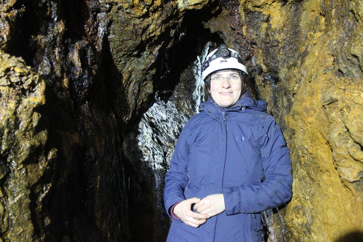
Dr. rer. nat. Tanja Schäfer
Institut für Geotechnik und Markscheidewesen, Technische Universität Clausthal
I studied geology at Clausthal University of Technology and wrote my final theses in both the field of mineralogy/geochemistry and salt tectonics. The latter introduced me to the use of remote sensing in geology by the stereoscopic evaluation of aerial photographs for enhanced terrain analysis.
These two subjects are reflected in my professional career. After my studies at the Institute of Geology, I worked on the tectonic analysis of elevation models and image data of the Mars surface within the MarsExpress mission. After a further education in geoinformatics, I was able to gain many years of experience in satellite-based radar remote sensing for recording ground movements in various mining-related projects at the Institute of Geotechnical Engineering and Mine Surveying.
Most recently, I completed my PhD at the Max Planck Institute for Solar System Research in Göttingen and at Clausthal University of Technology. During my PhD thesis I was involved in the NASA Dawn Mission to the asteroid Ceres, being engaged in remotely sensed discrimination of meteoritic reference materials and laboratory experiments on the geochemical evolution of Ceres.
In the project Old Mining 3D, I am engaged in the photogrammetric acquisition and digitization of historical mining models.
